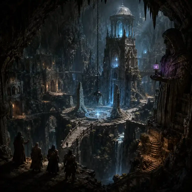
Rain Shadows on Fantasy Maps: Make Two Climates Make Sense
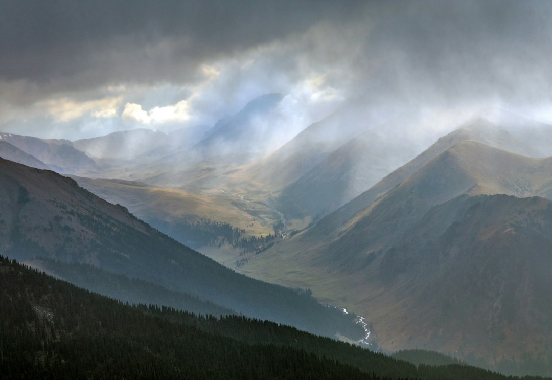
A rain shadow on a fantasy map is a useful way to explain why one side of a mountain range feels lush while the other is relatively dry. The idea creates more than attractive terrain: it can influence agriculture, roads, markets, water politics, and the way characters travel.
This is a focused follow-up to our fantasy climate worldbuilding guide. You do not need a full climate simulator to use the concept; you do need a plausible wind direction, a meaningful mountain barrier, and attention to exceptions.
What is a rain shadow?
Moist air approaching a mountain range can be forced upward. As it cools, water vapor may condense into clouds and precipitation on the windward side. After crossing the high ground, the air may descend and warm, making the leeward side relatively drier. The drier area is called a rain shadow.
That is a simplified explanation, not a guarantee: local winds, seasonal shifts, mountain height, latitude, and ocean patterns all matter. On a fantasy map, the useful first question is where the moisture-bearing air usually arrives from.
A six-step rain-shadow map exercise
- Sketch a coastline and a major range.
- Choose a prevailing seasonal wind carrying moisture toward the mountains.
- Mark the windward foothills as one possible wetter zone.
- Mark the far slope and adjacent basin as potentially drier.
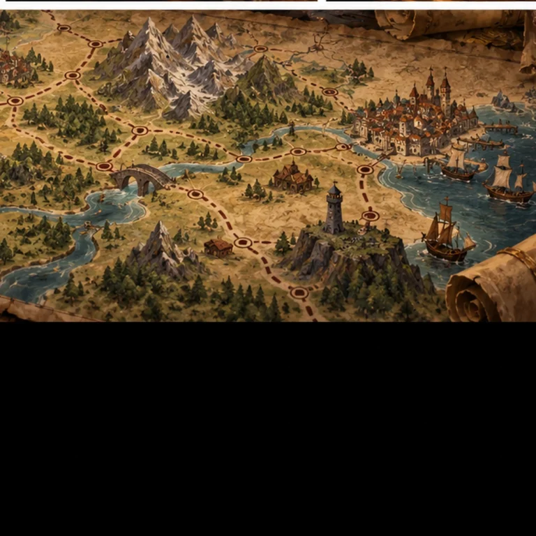
- Put rivers, passes, farms, towns, and seasonal roads where people can use resources.
- Write down at least one exception caused by a second wind pattern, lake, valley, or magic.
These six marks give you a testable starting model. You can refine it if the story demands precision, but most readers need consistent cause and effect rather than a weather engine.
Example: the Greyspine Mountains
Imagine a west-facing coastal range called the Greyspines. Wet winds arrive from the sea most of the year. The western towns grow orchards, maintain drainage channels, and repair storm-damaged roads. East of the ridge, the Alder Basin receives less reliable rain and depends on reservoirs, irrigation agreements, and caravans.
A merchant traveling west may carry grain and pottery uphill, then return with timber, fish, and medicines. A drought in Alder Basin raises the price of food while a storm on the coastal slope blocks the pass. Geography becomes a series of decisions instead of a decorative map edge.
How different should neighboring climates be?
Do not draw an instant jungle beside a barren desert solely because a mountain line separates them. A rain shadow can be strong or modest. Vegetation also depends on temperature, soil, groundwater, river systems, land use, and seasonal rainfall. A drier side could be grassland, scrub, farmland under irrigation, or a desert in sufficiently dry conditions.
Use transitions to make the world feel lived-in: damp foothills, high alpine ground, dry slopes, rivers spilling into an inland basin. A narrow range might produce a subtler shift than a huge chain.
How mountains reshape culture without dictating it
Climate does not assign personality or moral character to an entire people. It influences what solutions become practical. In the wet west, stilted storage and covered markets may be common. In the dry east, water rights and cistern maintenance might be civic priorities. Either society could be generous, exploitative, wealthy, or poor depending on institutions and history.
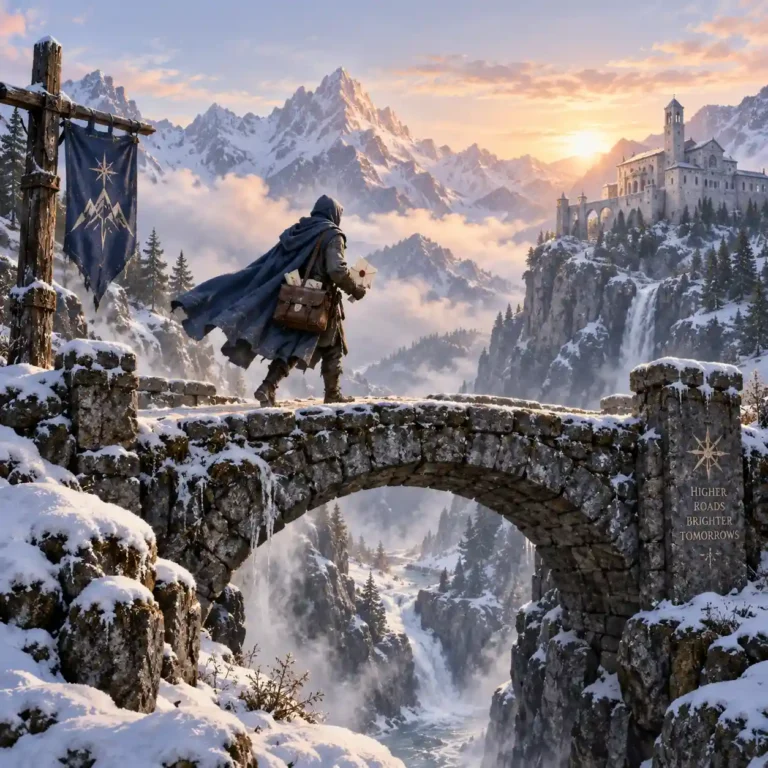
Let the same mountain create shared traditions, too. A summit roadside shrine could serve travelers from both sides, even as they disagree over pass tolls.
Common fantasy map mistakes
The first is treating every mountain as an automatic climate switch. The second is ignoring rivers: meltwater and rain can support communities far into dry country. The third is forgetting seasons; a valley can have a wet period and a long dry period. The fourth is placing huge cities without showing how they secure food and water.
None requires perfect realism to repair. Ask what supplies the people, what fails in a bad year, and who benefits from controlling the backup.
Five story hooks generated by a rain shadow
- A reservoir treaty lapses just as the eastern rains fail.
- A wet-side timber guild refuses to repair a bridge without a higher fee.
- A mountain courier carries news of a flood while the dry-side council debates irrigation taxes.
- An unusually strong storm creates a temporary new route through the pass.
- A sacred spring feeds two rival settlements, and its flow changes unexpectedly.
Pair climate with roads and festivals
The map becomes stronger when people respond consistently. Work out the safest seasonal pass, the crops that can travel, and the seasonal festivals marking spring thaw or first rains. If trade crosses the ridge, consult our fantasy trade routes article for routes that serve actual needs.
One-page rain-shadow checklist
Which direction carries moisture? Where does air rise? What makes the far side drier? What water sources soften the contrast? Where are passes and population centers? What happens during an unusually wet or dry season? If you can answer those questions, your mountain range starts earning its place in the story.